 vesseltracker.com
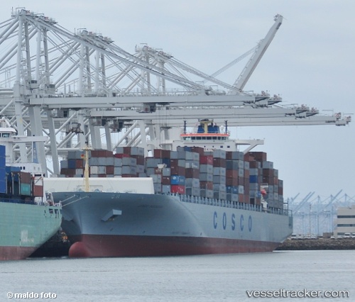
Vessel MSC YOKOHAMA IMO: 9285665, MMSI: 636020498 Container Ship
UTC, 6.61361, -46.66356, course: 308, speed: 17.4
UTC, 6.97548, -47.12216, course: 308, speed: 17
2026-02-21 20:10:49 UTC, 7.41294, -47.71195, course: 308, speed: 17.2
Live AIS position:
UTC. 312 nm NE of Remire),
updated 2026-02-21 20:10:49 UTC.
Find the position of the vessel MSC YOKOHAMA on the map. The latter are known coordinates and path.
marine traffic ship tracker show on live map
The current position of vessel MSC YOKOHAMA is 7.41294 lat / -47.71195 lng. Updated: 2026-02-21 20:10:49 UTCCurrently sailing under the flag of Liberia
MSC YOKOHAMA built in 2007 year
Deadweight:
93659 tDetails:
Last coordinates of the vessel:
UTC, 6.43767, -46.43122, course: 310, speed: 17.7UTC, 6.61361, -46.66356, course: 308, speed: 17.4
UTC, 6.97548, -47.12216, course: 308, speed: 17
2026-02-21 20:10:49 UTC, 7.41294, -47.71195, course: 308, speed: 17.2